sidescanpy is on PyPI
sidescanpy is now public: pip install sidescanpy. It reads EdgeTech JSF, Klein SDF, and XTF sidescan files into one xarray data model, applies the standard corrections (TVG, slant-to-ground range, georeferencing) with every step and its parameters recorded, grids to GeoTIFF, and builds COCO/YOLO training sets from target catalogs. The point is that a corrected image or a training set can always be rebuilt from the raw files. It started as my own processing scripts in mid-2025. The worked examples all run on openly licensed public surveys. It is still beta (0.x), so pin the version you use. Code on GitHub (MIT), cite it with 10.5281/zenodo.24121873, and more on the project page.
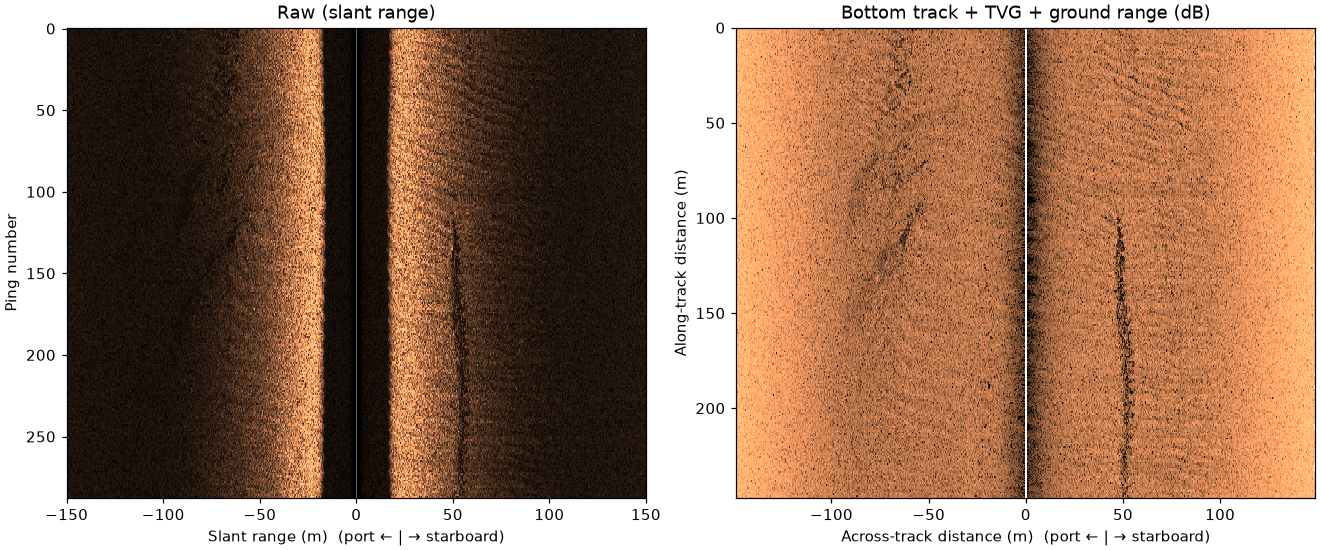 Raw (left) and after bottom tracking, TVG, and slant-to-ground range (right). UK JNCC data, Open Government Licence.
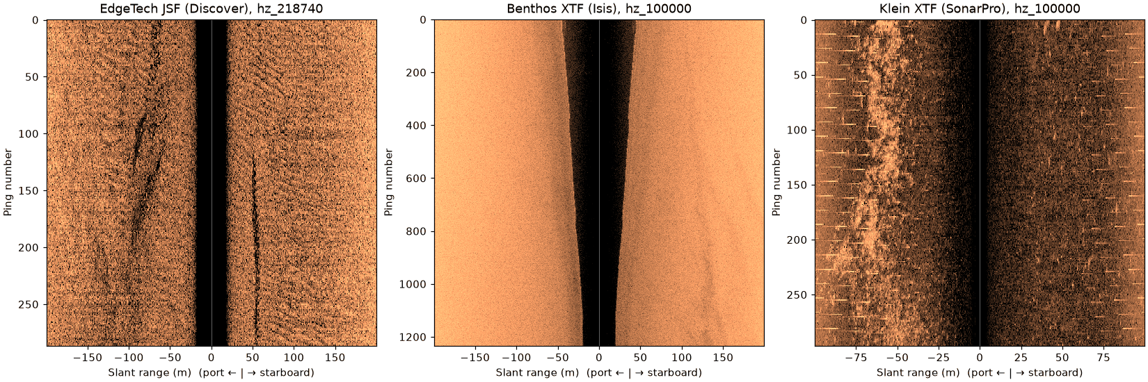 Same calls, three sonars and file writers: EdgeTech JSF, Benthos XTF (UK JNCC, Open Government Licence), and Klein XTF (USGS, public domain).
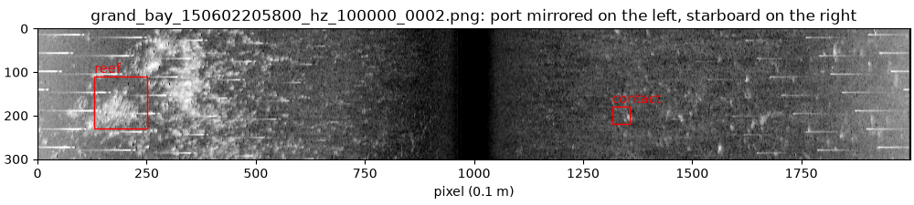 A dual-swath tile cut for annotation, with square 0.1 m pixels and example “reef” and “contact” boxes. Each box maps back to its file, ping, side, and position. USGS Grand Bay data, public domain.